Location
United Kingdom
50° 37' 23.3256" N, 50° 37' 23.3256" E
Media
Field Notes
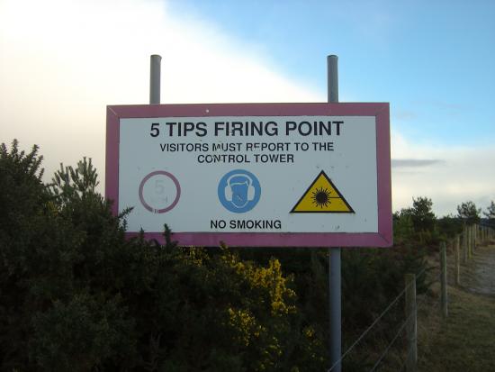
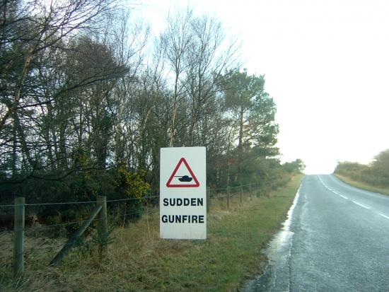
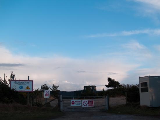
Site requisitioned during World War 2, Lulworth Military Range is 7500 acre site stretching from Wareham to Lulworth Cove. Parts of coast and roads through the range are accessible at certain times. About 70,000 high explosive shells are fired each year.
Less of a dark place more of a land-based target. Whilst the firing range is not in and of itself a space of research, of science or experimentation, it is nonetheless a space of sacrifice. Set in the rolling beauty of Dorset, it is home to the ghost village of Tynemham, which was given up to the MOD to help train for D Day landings. Despite a promise to its inhabitants, the land itself was not returned. Road access is possible, and both Tyneham and roads crossing the range are open to the public when indicated. Overt Researchers approach with care as Military sites are sensitive, although when open to the public, there seems to be no concerns over photographing the landscape or village itself. If you are unsure about restrictions pertaining to the photography and military sites, check the website of Defence Advisory Notices (DA-Notices) issued by: The Defence, Press & Broadcasting Advisory Commitee (DPBAC), for an idea of what the press should not be doing.