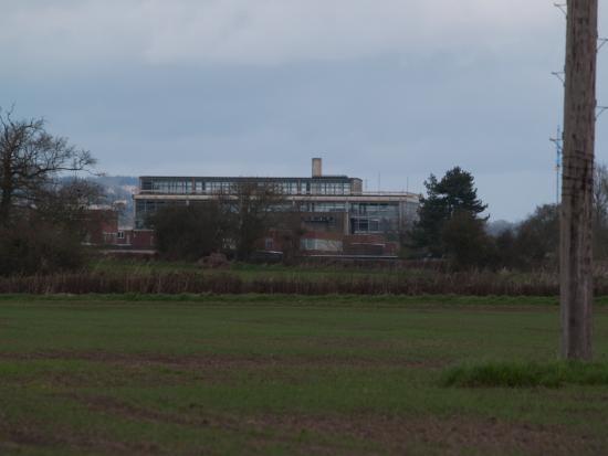
Berkeley Decommissioned Nuclear Site
Thu, 05/11/09 - 17:37 - adminLocation
United States
51° 41' 35.0916" N, 51° 41' 35.0916" E
Media
Field Notes
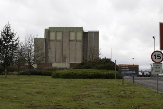
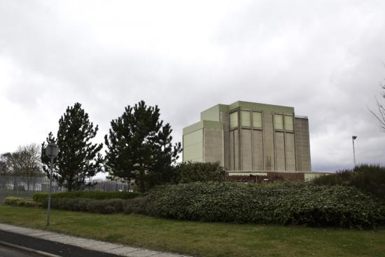
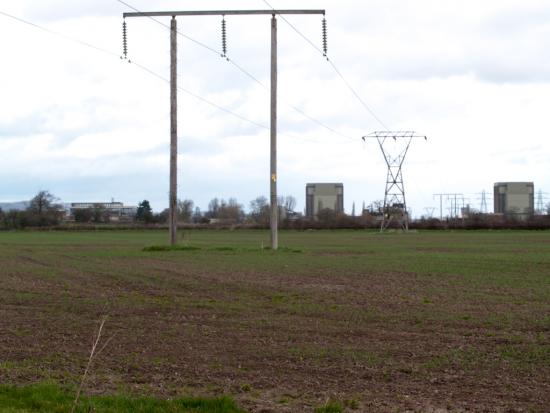
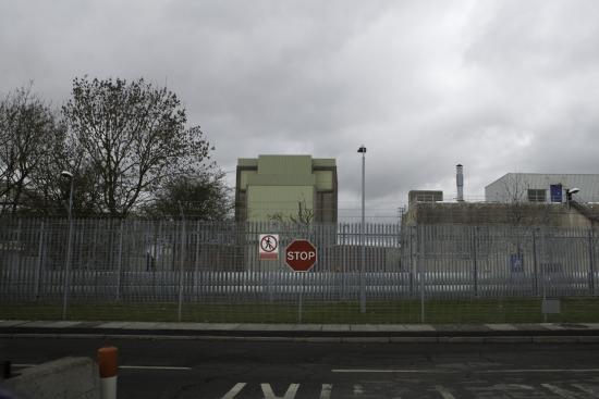
Berkeley was one of the UK's first nuclear power stations and has a total site area of 27 hectares covered by the nuclear site licence. The site includes Berkeley Centre laboratories and offices that lie adjacent to the power station.The station operated from 1962 until 1989 when it ceased electricity generation. Defuelling was completed by 1992. The area around the site is environmentally sensitive and is designated a Special Protection Area (SPA), Special Area for Conservation (SAC), a wetland of international importance under the RAMSAR convention and a Site of Specific Scientific Interest (SSSI). The nearby Berkeley Gazebo is a Grade 2 listed building, constructed in 1754.
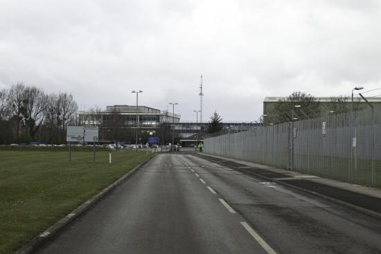
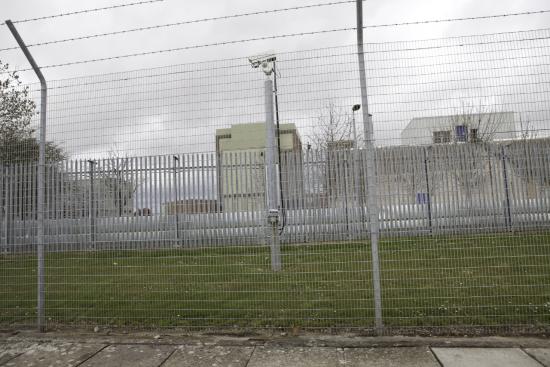
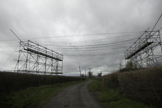
As with many other Decommissioned Nuclear Sites we have observed, there remains significant activity, and one is only left to speculate on the nature of this activity and the extent to which decommission refers to original rather than future purpose.